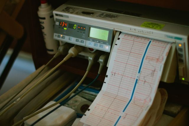

The Philippines sits along the Pacific Ring of Fire where severe earthquakes happen frequently. Modern cities need advanced technology to protect high-rise structures from ground shaking. Understanding seismic accelerographs helps property owners meet government safety codes. These instruments record strong ground motion to protect lives during major tremors.
Strong Ground Motion in the Philippine Setting
Standard seismometers measure small ground vibrations across vast regional distances. However, violent shaking during major shocks causes standard sensors to go off scale completely.
Engineers rely on accelerographs to track strong ground motion without signal distortion. These devices capture physical acceleration values when fault lines rupture nearby.
Data from local ground shaking reveals how native soil types shift during shocks. Soft soil layers in coastal areas multiply seismic energy significantly.
Accurate local records allow structural engineers to evaluate real building strain. Precise measurements help property teams prepare structures for future earth movements.
Department of Public Works and Highways Mandates
The Department of Public Works and Highways enforces strict building safety rules nationwide. Government guidelines mandate earthquake recording tools for specific structural types.
High-rise commercial towers standing over fifty meters high must install three connected accelerographs. Sensors sit at the lowest basement, middle floor, and top level.
Hospitals with fifty beds or more must keep at least one device operational. Large schools, crowded malls, and government offices share these same mandatory rules.
Local building officials inspect these instruments before issuing yearly safety certificates. Property managers must maintain operational devices to keep their occupancy permits valid.
Core Mechanics of Acceleration Measurement
An accelerograph uses internal damped masses mounted on sensitive support springs. Ground motion moves the outer casing while internal components resist initial movement.
Sensors convert this small internal displacement into digital signal data instantly. The system logs ground movement across three perpendicular spatial axes simultaneously.
Three-axis tracking captures vertical ground shifts along with horizontal side movements. This detailed view shows how earthquake waves strike building foundation supports.
Engineers calculate total structural load by multiplying recorded acceleration by building weight. These physical numbers confirm whether structural columns sustained internal damage.
Real-Time Emergency Response and Safety Interlocks
Modern digital units process high-resolution wave data thousands of times every second. Fast processing speed ensures the system captures sharp acceleration peaks accurately.
These units connect directly to building management systems for automated safety responses. Pre-set vibration levels trigger immediate warning alarms for occupants.
Automated switches shut off elevator power lines and main gas supplies instantly. Quick automatic cutoffs prevent secondary disasters like fires or trapped elevator cars.
Central monitoring hubs receive immediate wave data through secure network connections. Emergency response teams use this incoming data to target urgent rescue efforts.
Assessing Structural Integrity After Tremors
Strong earthquakes cause hidden structural stress inside concrete beams and steel joints. Visual inspections alone cannot identify internal fractures within thick structural columns.
Comparing basement motion records with roof responses reveals overall building sway. Engineers evaluate structural natural periods to verify overall frame stiffness.
Permanent shifts in vibration frequencies signal potential structural fatigue or internal cracking. Early detection allows maintenance teams to fix structural weaknesses before minor issues grow.
Data-driven building evaluations eliminate dangerous guesswork after major disaster events. Structural reports show whether occupants can re-enter buildings safely.
Improving the National Structural Code
Collected motion data feeds directly into national research databases across the country. Seismologists study field recordings to map active fault behavior more accurately.
Engineers use actual earthquake records to update local structural safety codes continuously. Real motion data replaces old theoretical models with actual field measurements.
Safer structural codes ensure new construction projects withstand future shaking better. Better designs protect public safety and minimize long-term financial property losses.
Continuous monitoring creates safer urban centers across earthquake-prone provinces nationwide. Technology helps local communities adapt to natural geological hazards effectively.
Protecting Critical Public Infrastructure
Major transportation bridges, seaport terminals, and water dams require continuous seismic tracking. Installing sensors on critical infrastructure ensures continuous public utility operation.
Monitored dams transmit real-time vibration data to municipal disaster management centers. Immediate structural data helps officials manage downstream safety during major aftershocks.
Port facilities use ground acceleration logs to check dock stabilization systems after shocks. Quick safety checks keep supply routes open for emergency food and medical aid shipments.
Investing in public infrastructure monitoring limits economic downtime following severe natural events. Resilient systems keep vital supply networks open during post-disaster recovery phases.
Key Takeaway
Earthquake readiness relies on physical ground motion tracking across urban centers. Installing seismic accelerographs keeps buildings compliant with national safety codes while protecting communities against disaster.